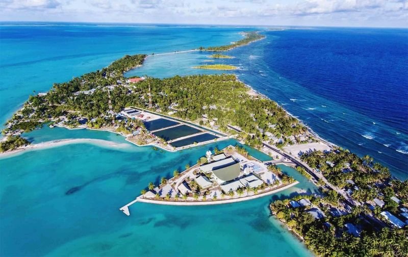
About Our Division
Serving the people of Kiribati through sustainable land management, planning, and surveying under the Ministry of Environment, Lands and Agricultural Development.
The Land Management Division within the Ministry of Environment, Land and Agricultural Development (MELAD) plays a vital role in ensuring the sustainable administration, use, and protection of land resources in Kiribati. Given the country's limited land area and growing population pressures, the division is responsible for maintaining land records, facilitating land registration processes, and supporting the resolution of land ownership and boundary disputes. Through these functions, the division helps promote security of land tenure and supports orderly land development across the islands.
The division is also responsible for advising the government on land policies and legislation that contribute to effective land governance. It works closely with local communities, traditional landowners, and government agencies to ensure that land management practices balance economic development, environmental protection, and cultural values. By providing technical guidance on land use planning and land allocation, the division supports national development initiatives while safeguarding the rights and interests of landowners.
In addition, the Land Management Division contributes to sustainable development by promoting the efficient use of land resources and addressing emerging challenges such as urbanization, coastal erosion, and climate change impacts. The division assists in the collection and management of land information, conducts surveys and mapping activities, and supports infrastructure and investment projects that require secure land access. Through these efforts, the division plays a key role in enhancing land administration systems and supporting the long-term social and economic well-being of Kiribati.
Land Management
We maintain comprehensive, accurate records to safeguard I-Kiribati property rights. This includes managing the official native and state registers for land ownership, government leases, and subleases.
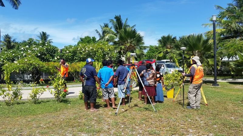
Land Planning Unit
We guide safe and sustainable development. Our team manages and approves land sublease applications and issues crucial development permits for construction on land, seawalls, coastal developments, and excavations.
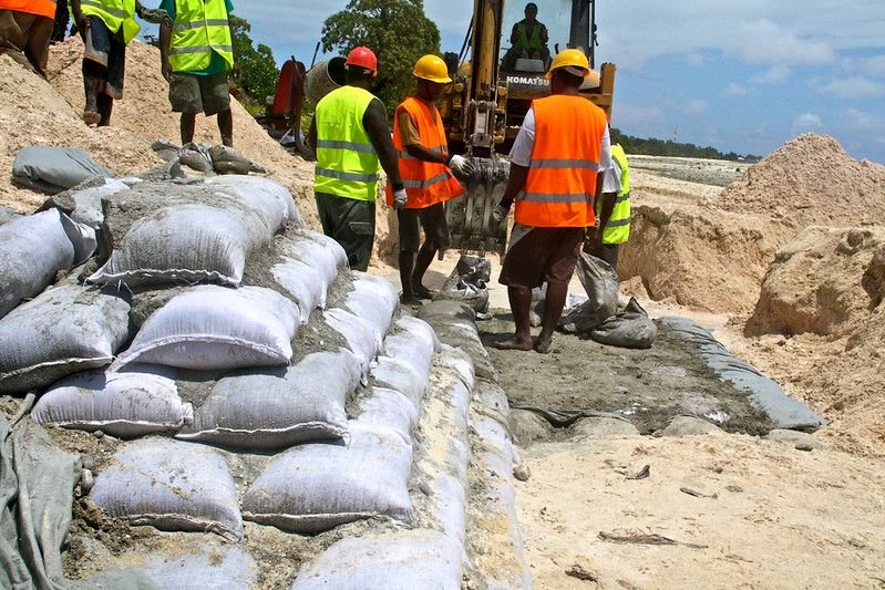
Land Surveying
We conduct precise cadastral and topographical land surveys. Upon receiving requests from the public, our expert team helps determine boundaries and resolve land disputes across the islands.
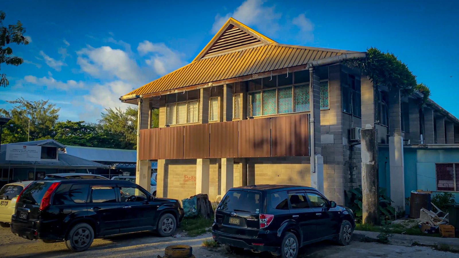
GIS Unit
We conduct precise cadastral and topographical land surveys. Upon receiving requests from the public, our expert team helps determine boundaries and resolve land disputes across the islands.