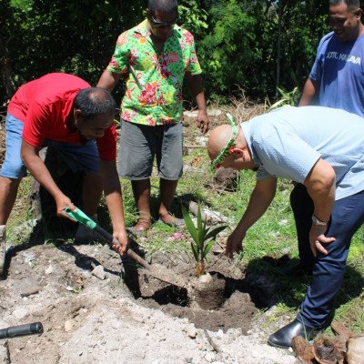
The Land Management Division (LMD) under the Ministry of Environment, Lands and Agricultural Development (MELAD) serves as the primary authority responsible for the administration, legal oversight, and sustainable utilization of land resources across Kiribati. One of its core functions is managing state-owned lands and government leaseholds—particularly on densely populated South Tarawa, where the government predominantly leases land from native owners rather than purchasing it outright. The division maintains official title security and ownership records through the Kiribati Land Information System (KLIS) while executing statutory duties under key frameworks like the Native Land Ordinance, the State Land Act, and the Rent Review Ordinance.
Additionally, LMD oversees land planning and compliance, guiding urban and rural development by formulating general and detailed land-use plans, managing sublease applications, and serving as the secretariat to the Central Land Planning Board. Beyond statutory record-keeping and urban planning, the division delivers essential technical, spatial, and coastal management services. Its Land Survey and Geographical Information System/Remote Sensing (GIS-RS) unit provides field surveying for boundary determinations, cadastral mapping, and elevation contouring needed for public infrastructure, building permits, and judicial land dispute resolutions. LMD also plays a critical role in coastal protection and climate resilience through the administration of the Foreshore and Land Reclamation Ordinance. In this capacity, it processes and monitors applications for seawall construction, land reclamation projects, and sand or gravel mining permits, while utilizing satellite imagery and aerial drone data to perform coastal and vegetation change-detection analyses over time.
Land Information and Enforcement Services